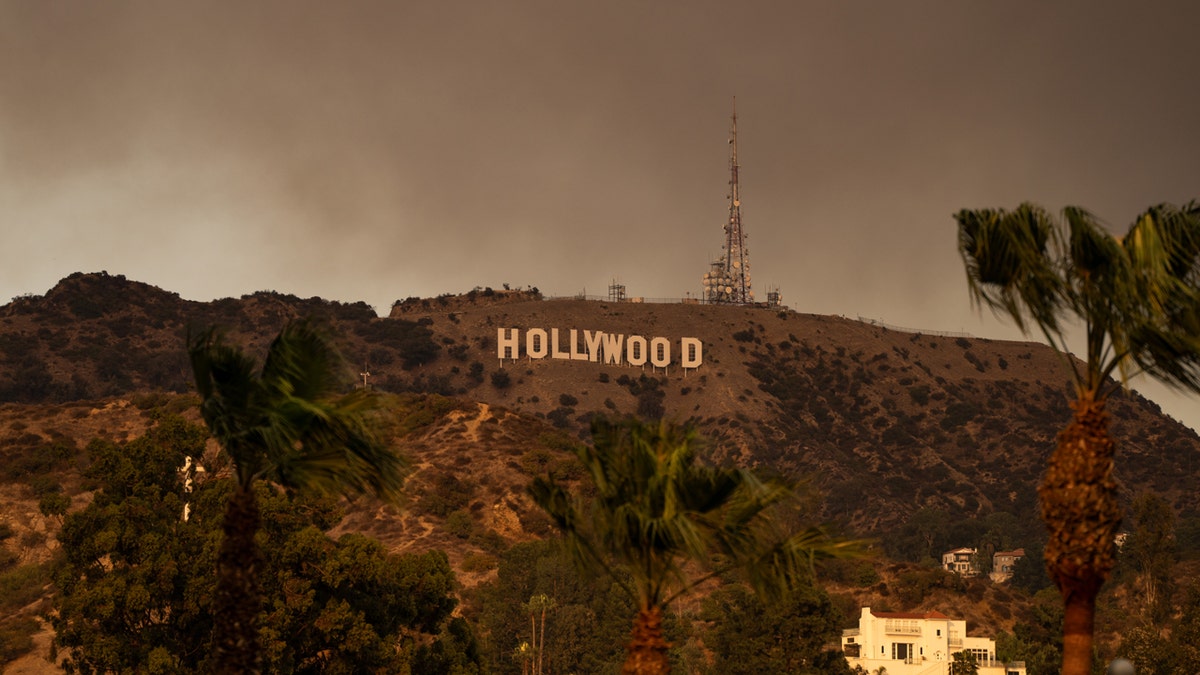
Satellite imagery reveals the dramatic spread of wildfires across Southern California, forcing over 100,000 residents to evacuate their homes. The Cooperative Institute for Research in the Atmosphere (CIRA) released time-lapse footage capturing the rapid growth of the blazes, including the Palisades Fire, which ignited near Malibu and Santa Monica on Tuesday morning. As of Wednesday night, the Palisades and Eaton fires have each consumed over 10,000 acres.
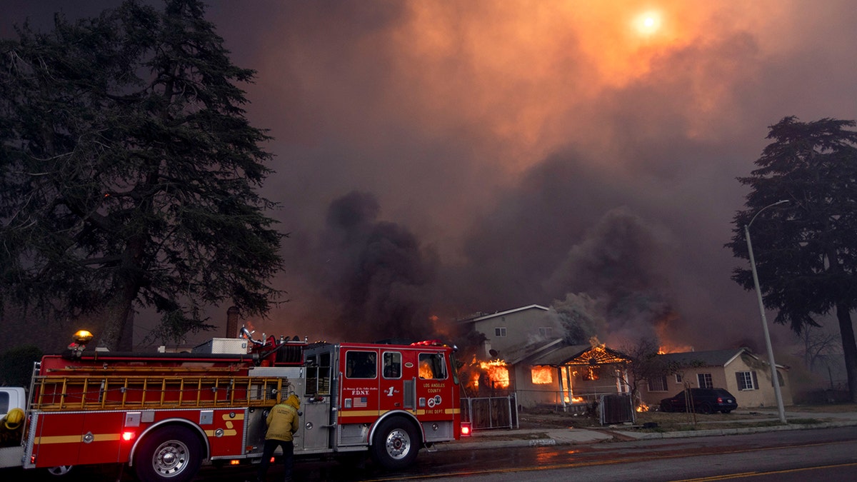
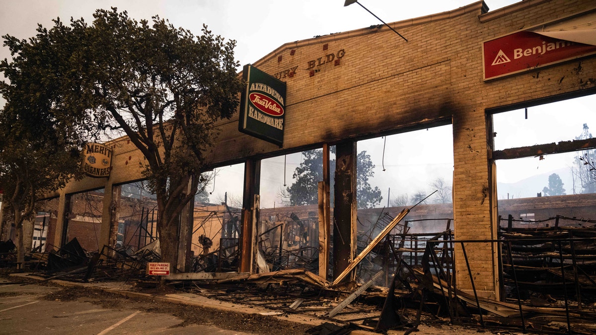
Eight major fires are currently burning in the Los Angeles area, threatening nearly 30,000 structures. These include the Palisades, Eaton, Hurst, Olivas, Lidia, Scout, Sunset, and Woodley fires. The Eaton and Hurst fires, which began later on Tuesday, have collectively burned over 11,000 acres as of Wednesday evening. Other fires sparked on Wednesday in Los Angeles, Riverside, and Ventura counties have scorched more than 400 acres and are anticipated to expand further. With the exception of the Lidia Fire, none of the blazes are contained.
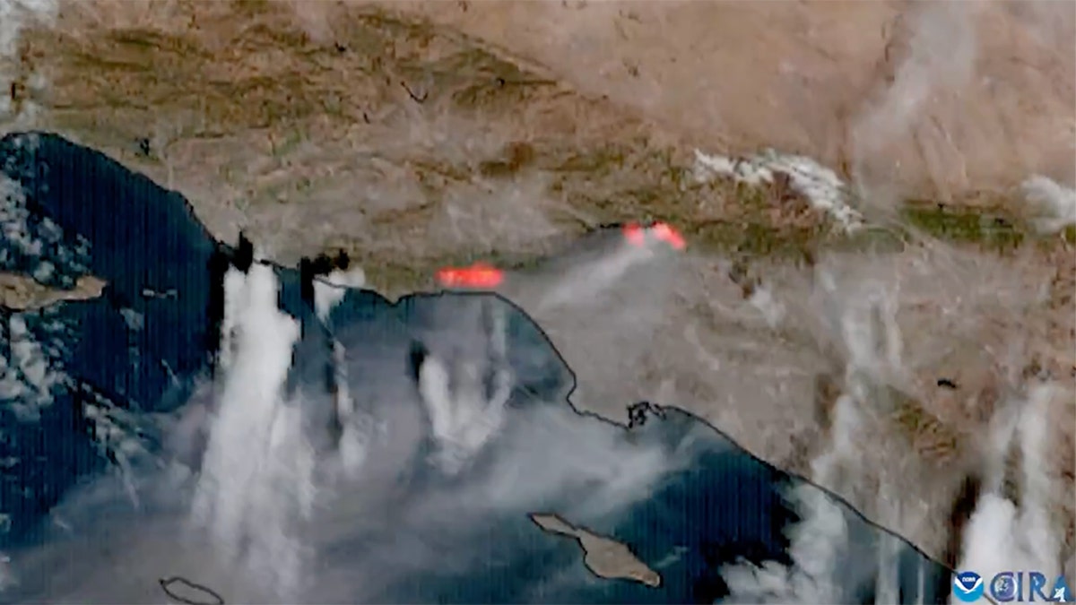
NOAA's GOES West (GOES-18) satellite captured the smoke and heat signatures emanating from the wildfires on Tuesday and Wednesday. The imagery highlights the widespread impact of these devastating fires. Over three million people in Los Angeles County experienced power outages by Wednesday afternoon.

Comments(0)
Top Comments